
Aristau topographic map
Interactive map
Click on the map to display elevation.
About this map
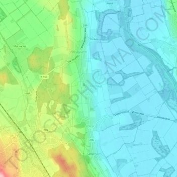
Name: Aristau topographic map, elevation, terrain.
Location: Aristau, Bezirk Muri, Aargau, 5628, Switzerland (47.26635 8.34262 47.30635 8.38262)
Average elevation: 419 m
Minimum elevation: 378 m
Maximum elevation: 541 m