
Thank you for supporting this site ❤️
Make a donation
Make a donation
Gear up for your next adventure:
As an Amazon Associate, this site earns from qualifying purchases at no extra cost to you.
Kostanjevac topographic map
Click on the map to display elevation.
Thank you for supporting this site ❤️
Make a donation
Make a donation
Gear up for your next adventure:
As an Amazon Associate, this site earns from qualifying purchases at no extra cost to you.
About this map
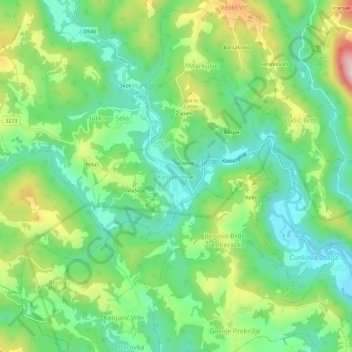
Name: Kostanjevac topographic map, elevation, terrain.
Location: Kostanjevac, Općina Žumberak, Zagreb County, 10455, Croatia (45.68020 15.45132 45.72020 15.49132)
Average elevation: 271 m
Minimum elevation: 166 m
Maximum elevation: 475 m
Thank you for supporting this site ❤️
Make a donation
Make a donation
Gear up for your next adventure:
As an Amazon Associate, this site earns from qualifying purchases at no extra cost to you.