
Lyerly topographic map
Interactive map
Click on the map to display elevation.
About this map
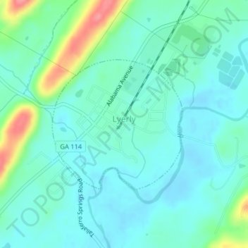
Name: Lyerly topographic map, elevation, terrain.
Location: Lyerly, Chattooga County, Georgia, United States (34.39617 -85.41291 34.41050 -85.39545)
Average elevation: 198 m
Minimum elevation: 179 m
Maximum elevation: 263 m