
Hawley topographic map
Interactive map
Click on the map to display elevation.
About this map
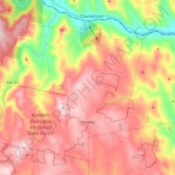
Name: Hawley topographic map, elevation, terrain.
Location: Hawley, Franklin County, Massachusetts, 01339, United States (42.54120 -72.97541 42.62866 -72.83342)
Average elevation: 445 m
Minimum elevation: 156 m
Maximum elevation: 641 m