
Hanhals topographic map
Interactive map
Click on the map to display elevation.
About this map
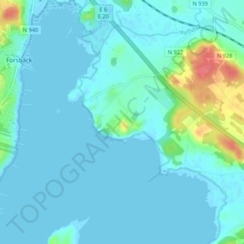
Name: Hanhals topographic map, elevation, terrain.
Location: Hanhals, Kungsbacka kommun, Halland County, 434 42, Sweden (57.42436 12.06333 57.46436 12.10333)
Average elevation: 8 m
Minimum elevation: -2 m
Maximum elevation: 57 m