
Baurari topographic map
Interactive map
Click on the map to display elevation.
About this map
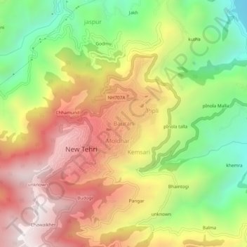
Name: Baurari topographic map, elevation, terrain.
Location: Baurari, Tehri, Tehri Garhwal, 249001, India (30.35862 78.42071 30.39862 78.46071)
Average elevation: 1,382 m
Minimum elevation: 762 m
Maximum elevation: 1,985 m