
Akole topographic map
Interactive map
Click on the map to display elevation.
About this map
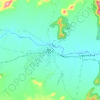
Name: Akole topographic map, elevation, terrain.
Location: Akole, Akola, Ahmednagar, Maharashtra, 422600, India (19.50193 73.96926 19.58193 74.04926)
Average elevation: 616 m
Minimum elevation: 562 m
Maximum elevation: 854 m