
Baker topographic map
Interactive map
Click on the map to display elevation.
About this map
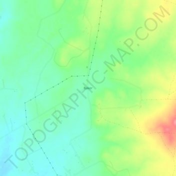
Name: Baker topographic map, elevation, terrain.
Location: Baker, Parker County, Texas, United States (32.55958 -97.74725 32.59958 -97.70725)
Average elevation: 294 m
Minimum elevation: 263 m
Maximum elevation: 348 m