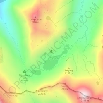
Ignaz-Mattis-Hütte topographic map
Interactive map
Click on the map to display elevation.
About this map
Name: Ignaz-Mattis-Hütte topographic map, elevation, terrain.
Average elevation: 2,052 m
Minimum elevation: 1,687 m
Maximum elevation: 2,500 m

Click on the map to display elevation.
Name: Ignaz-Mattis-Hütte topographic map, elevation, terrain.
Average elevation: 2,052 m
Minimum elevation: 1,687 m
Maximum elevation: 2,500 m