
Bakhla topographic map
Interactive map
Click on the map to display elevation.
About this map
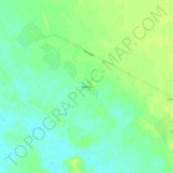
Name: Bakhla topographic map, elevation, terrain.
Location: Bakhla, Bouda, Adrar District, Adrar, Algeria (28.00040 -0.47042 28.04040 -0.43042)
Average elevation: 239 m
Minimum elevation: 229 m
Maximum elevation: 251 m