
Arley topographic map
Interactive map
Click on the map to display elevation.
About this map
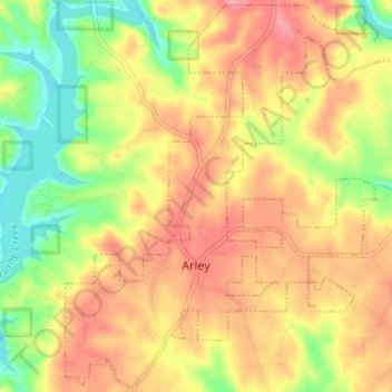
Name: Arley topographic map, elevation, terrain.
Location: Arley, Winston County, Alabama, United States (34.06398 -87.23319 34.11398 -87.17150)
Average elevation: 208 m
Minimum elevation: 151 m
Maximum elevation: 255 m
Other topographic maps
Click on a map to view its topography, its elevation and its terrain.
Addison
United States > Alabama > Winston County
Addison, Winston County, Alabama, United States
Average elevation: 237 m
Double Springs
United States > Alabama > Winston County
Double Springs, Winston County, Alabama, 35553, United States
Average elevation: 226 m