
Milton Hill topographic map
Interactive map
Click on the map to display elevation.
About this map
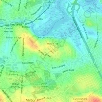
Name: Milton Hill topographic map, elevation, terrain.
Average elevation: 17 m
Minimum elevation: -1 m
Maximum elevation: 52 m
Other topographic maps
Click on a map to view its topography, its elevation and its terrain.
Blue Hills
United States > Massachusetts > Milton > Blue Hills
Blue Hills, Milton, Norfolk County, Massachusetts, 01286, United States
Average elevation: 32 m