
Boarstall topographic map
Interactive map
Click on the map to display elevation.
About this map
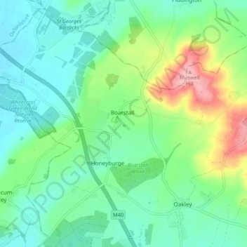
Name: Boarstall topographic map, elevation, terrain.
Location: Boarstall, Buckinghamshire, England, United Kingdom (51.79915 -1.14070 51.84534 -1.05917)
Average elevation: 98 m
Minimum elevation: 59 m
Maximum elevation: 198 m