
Herndon topographic map
Interactive map
Click on the map to display elevation.
About this map
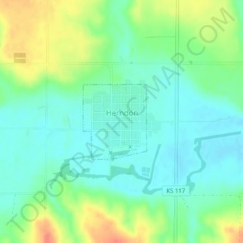
Name: Herndon topographic map, elevation, terrain.
Location: Herndon, Rawlins County, Kansas, 67739, United States (39.90453 -100.79080 39.91287 -100.78158)
Average elevation: 826 m
Minimum elevation: 808 m
Maximum elevation: 860 m
Other topographic maps
Click on a map to view its topography, its elevation and its terrain.
Rawlins County
United States > Kansas > Rawlins County
Rawlins County, Kansas, United States
Average elevation: 943 m