
Samana topographic map
Interactive map
Click on the map to display elevation.
About this map
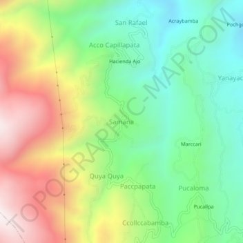
Name: Samana topographic map, elevation, terrain.
Location: Samana, Socos, Province of Huamanga, Ayacucho, Peru (-13.21898 -74.33235 -13.17898 -74.29235)
Average elevation: 3,561 m
Minimum elevation: 3,155 m
Maximum elevation: 4,186 m