
Clinton topographic map
Interactive map
Click on the map to display elevation.
About this map
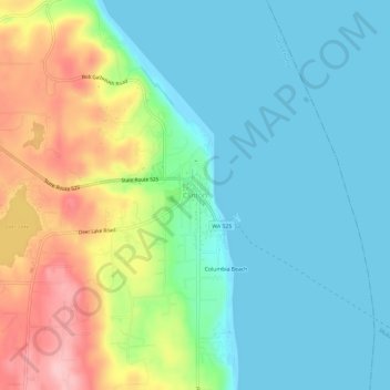
Name: Clinton topographic map, elevation, terrain.
Location: Clinton, Island County, Washington, 98236, United States (47.95793 -122.37619 47.99793 -122.33619)
Average elevation: 48 m
Minimum elevation: -1 m
Maximum elevation: 162 m