
Sherando topographic map
Interactive map
Click on the map to display elevation.
About this map
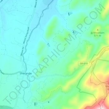
Name: Sherando topographic map, elevation, terrain.
Location: Sherando, Augusta County, Virginia, 22952, United States (37.96286 -78.98618 38.02051 -78.90886)
Average elevation: 509 m
Minimum elevation: 411 m
Maximum elevation: 931 m