
Al-Hidd topographic map
Interactive map
Click on the map to display elevation.
Al-Hidd
Hidd lies south of the Bahrain International Airport and Arad. Situated close by is East Hidd City, a large public housing project under construction. The Shaikh Khalifa Causeway connects Hidd to Juffair on Bahrain Island. The altitude of Al Hidd is 3m.
About this map
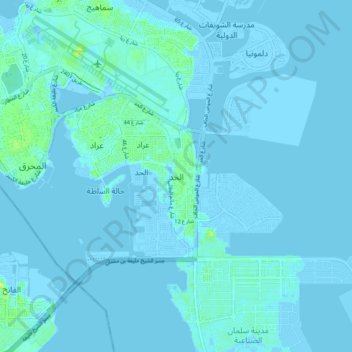
Name: Al-Hidd topographic map, elevation, terrain.
Location: Al-Hidd, Muharraq Governorate, 101, Bahrain (26.20405 50.61289 26.28405 50.69289)
Average elevation: 1 m
Minimum elevation: -5 m
Maximum elevation: 14 m
Other topographic maps
Click on a map to view its topography, its elevation and its terrain.