
Tavier topographic map
Interactive map
Click on the map to display elevation.
About this map
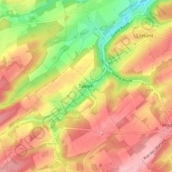
Name: Tavier topographic map, elevation, terrain.
Location: Tavier, Anthisnes, Huy, Liège, Wallonia, 4163, Belgium (50.47600 5.45066 50.51600 5.49066)
Average elevation: 236 m
Minimum elevation: 157 m
Maximum elevation: 292 m