
Kutta topographic map
Interactive map
Click on the map to display elevation.
About this map
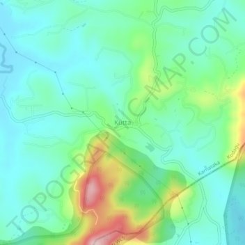
Name: Kutta topographic map, elevation, terrain.
Location: Kutta, Virajpet taluk, Kodagu, Karnataka, 571250, India (11.94962 76.02913 11.98962 76.06913)
Average elevation: 896 m
Minimum elevation: 824 m
Maximum elevation: 1,100 m