
Chikhi topographic map
Interactive map
Click on the map to display elevation.
About this map
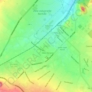
Name: Chikhi topographic map, elevation, terrain.
Location: Chikhi, Batna, Batna district, Batna, 05000, Algeria (35.53076 6.14651 35.57076 6.18651)
Average elevation: 1,053 m
Minimum elevation: 1,013 m
Maximum elevation: 1,112 m