
Spirit Lake topographic map
Interactive map
Click on the map to display elevation.
About this map
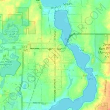
Name: Spirit Lake topographic map, elevation, terrain.
Location: Spirit Lake, Dickinson County, Iowa, United States (43.39291 -95.15513 43.44524 -95.07228)
Average elevation: 439 m
Minimum elevation: 424 m
Maximum elevation: 465 m
Other topographic maps
Click on a map to view its topography, its elevation and its terrain.
Superior
United States > Iowa > Dickinson County
Superior, Dickinson County, Iowa, 51363, United States
Average elevation: 454 m