
Cobbtown topographic map
Interactive map
Click on the map to display elevation.
About this map
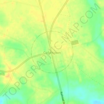
Name: Cobbtown topographic map, elevation, terrain.
Location: Cobbtown, Tattnall County, Georgia, United States (32.27513 -82.14511 32.28602 -82.13229)
Average elevation: 74 m
Minimum elevation: 57 m
Maximum elevation: 85 m