
Katito topographic map
Interactive map
Click on the map to display elevation.
About this map
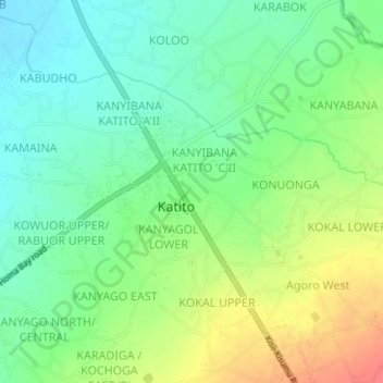
Name: Katito topographic map, elevation, terrain.
Location: Katito, Kisumu, Nyanza, Kenya (-0.28481 34.95411 -0.26069 34.99063)
Average elevation: 1,174 m
Minimum elevation: 1,152 m
Maximum elevation: 1,208 m