
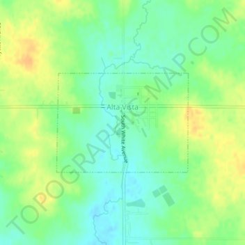
Alta Vista topographic map
Interactive map
Click on the map to display elevation.
About this map
Name: Alta Vista topographic map, elevation, terrain.
Location: Alta Vista, Chickasaw County, Iowa, United States (43.19124 -92.42698 43.20217 -92.40704)
Average elevation: 360 m
Minimum elevation: 346 m
Maximum elevation: 377 m
Other topographic maps
Click on a map to view its topography, its elevation and its terrain.
Bassett
United States > Iowa > Chickasaw County
Bassett, Chickasaw County, Iowa, United States
Average elevation: 320 m