
Blackrod topographic map
Interactive map
Click on the map to display elevation.
About this map
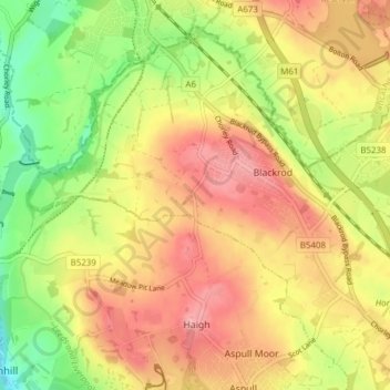
Name: Blackrod topographic map, elevation, terrain.
Location: Blackrod, Bolton, Greater Manchester, England, United Kingdom (53.57143 -2.62862 53.61080 -2.55206)
Average elevation: 114 m
Minimum elevation: 49 m
Maximum elevation: 168 m