
Burnsville topographic map
Interactive map
Click on the map to display elevation.
About this map
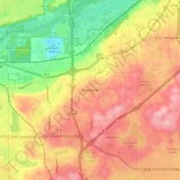
Name: Burnsville topographic map, elevation, terrain.
Location: Burnsville, Dakota County, Minnesota, 55337, United States (44.72706 -93.31739 44.80706 -93.23739)
Average elevation: 275 m
Minimum elevation: 186 m
Maximum elevation: 343 m