
Burud topographic map
Interactive map
Click on the map to display elevation.
About this map
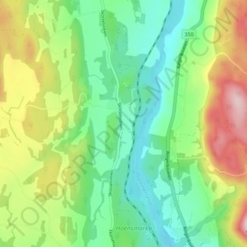
Name: Burud topographic map, elevation, terrain.
Location: Burud, Øvre Eiker, Viken, 3302, Norway (59.78879 9.86305 59.82879 9.90305)
Average elevation: 105 m
Minimum elevation: 7 m
Maximum elevation: 284 m