
Wesson topographic map
Interactive map
Click on the map to display elevation.
About this map
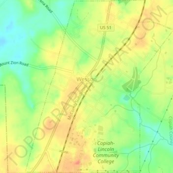
Name: Wesson topographic map, elevation, terrain.
Location: Wesson, Copiah County, Mississippi, United States (31.68516 -90.40996 31.71485 -90.38005)
Average elevation: 135 m
Minimum elevation: 106 m
Maximum elevation: 160 m