
Vasia topographic map
Interactive map
Click on the map to display elevation.
About this map
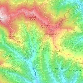
Name: Vasia topographic map, elevation, terrain.
Location: Vasia, Imperia, Liguria, Italy (43.91617 7.89230 43.95886 7.96955)
Average elevation: 396 m
Minimum elevation: 86 m
Maximum elevation: 849 m