
Pirana topographic map
Interactive map
Click on the map to display elevation.
About this map
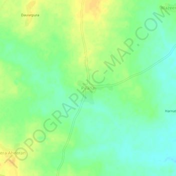
Name: Pirana topographic map, elevation, terrain.
Location: Pirana, Dungla Tehsil, Chittorgarh, Rajasthan, 312402, India (24.50264 74.36861 24.54264 74.40861)
Average elevation: 463 m
Minimum elevation: 451 m
Maximum elevation: 475 m