
Hassi Bahbah topographic map
Interactive map
Click on the map to display elevation.
About this map
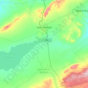
Name: Hassi Bahbah topographic map, elevation, terrain.
Location: Hassi Bahbah, Hassi Bahbah District, Djelfa, Algeria (34.85238 2.67865 35.14017 3.18207)
Average elevation: 906 m
Minimum elevation: 800 m
Maximum elevation: 1,306 m