
Tha Sop Sao topographic map
Interactive map
Click on the map to display elevation.
About this map
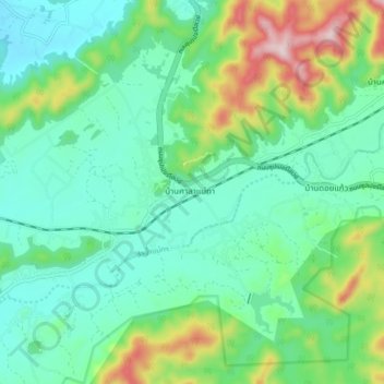
Name: Tha Sop Sao topographic map, elevation, terrain.
Location: Tha Sop Sao, Lamphun Province, Thailand (18.42062 99.09448 18.50062 99.17448)
Average elevation: 450 m
Minimum elevation: 341 m
Maximum elevation: 756 m