
Hald Ege topographic map
Interactive map
Click on the map to display elevation.
About this map
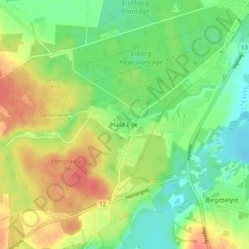
Name: Hald Ege topographic map, elevation, terrain.
Location: Hald Ege, Viborg Municipality, Denmark (56.39087 9.33256 56.43087 9.37256)
Average elevation: 29 m
Minimum elevation: 5 m
Maximum elevation: 59 m