
Strathcona topographic map
Interactive map
Click on the map to display elevation.
About this map
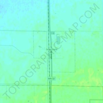
Name: Strathcona topographic map, elevation, terrain.
Location: Strathcona, Roseau County, Minnesota, United States (48.54784 -96.17617 48.55871 -96.15961)
Average elevation: 344 m
Minimum elevation: 339 m
Maximum elevation: 350 m