
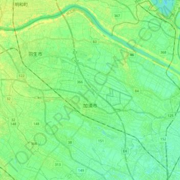
Kazo topographic map
Interactive map
Click on the map to display elevation.
About this map
Name: Kazo topographic map, elevation, terrain.
Location: Kazo, Saitama Prefecture, Japan (36.07111 139.52378 36.21464 139.70303)
Average elevation: 15 m
Minimum elevation: 6 m
Maximum elevation: 29 m