
Wolverton topographic map
Interactive map
Click on the map to display elevation.
About this map
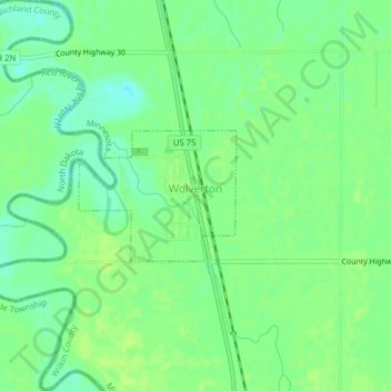
Name: Wolverton topographic map, elevation, terrain.
Location: Wolverton, Wilkin County, Minnesota, 56594, United States (46.55826 -96.74543 46.56731 -96.72957)
Average elevation: 284 m
Minimum elevation: 276 m
Maximum elevation: 288 m
Other topographic maps
Click on a map to view its topography, its elevation and its terrain.
Wolverton WMA
United States > Minnesota > Wilkin County
Wolverton WMA, T-1, Wilkin County, Minnesota, United States
Average elevation: 284 m