
San Luis topographic map
Interactive map
Click on the map to display elevation.
About this map
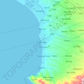
Name: San Luis topographic map, elevation, terrain.
Location: San Luis, Batangas, Calabarzon, 4208, Philippines (13.81496 120.87623 13.89496 120.95623)
Average elevation: 45 m
Minimum elevation: 0 m
Maximum elevation: 324 m