
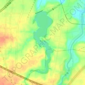
常庄水库 topographic map
Interactive map
Click on the map to display elevation.
About this map
Name: 常庄水库 topographic map, elevation, terrain.
Location: 常庄水库, 中原区, 郑州市, 河南省, 中国 (34.71265 113.54915 34.73257 113.55838)
Average elevation: 136 m
Minimum elevation: 113 m
Maximum elevation: 155 m
Other topographic maps
Click on a map to view its topography, its elevation and its terrain.