
Colebrook topographic map
Interactive map
Click on the map to display elevation.
About this map
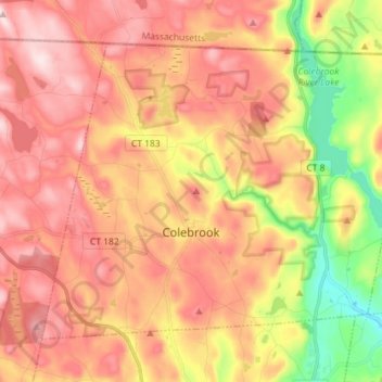
Name: Colebrook topographic map, elevation, terrain.
Location: Colebrook, Litchfield County, Connecticut, United States (41.95973 -73.15150 42.04207 -73.00867)
Average elevation: 361 m
Minimum elevation: 156 m
Maximum elevation: 510 m