
Paint Lick topographic map
Interactive map
Click on the map to display elevation.
About this map
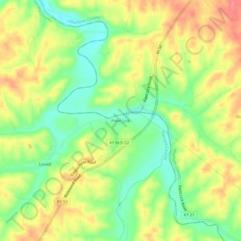
Name: Paint Lick topographic map, elevation, terrain.
Location: Paint Lick, Garrard County, Kentucky, 40461, United States (37.59675 -84.42938 37.63675 -84.38938)
Average elevation: 272 m
Minimum elevation: 236 m
Maximum elevation: 309 m