
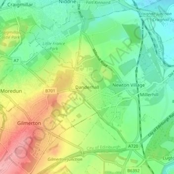
Danderhall topographic map
Interactive map
Click on the map to display elevation.
About this map
Name: Danderhall topographic map, elevation, terrain.
Location: Danderhall, Midlothian, Scotland, EH22 1NP, United Kingdom (55.89398 -3.13041 55.93398 -3.09041)
Average elevation: 71 m
Minimum elevation: 26 m
Maximum elevation: 147 m