
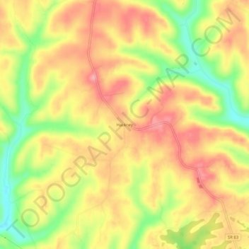
Hackney topographic map
Interactive map
Click on the map to display elevation.
About this map
Name: Hackney topographic map, elevation, terrain.
Location: Hackney, Morgan County, Ohio, United States (39.61257 -81.69707 39.65257 -81.65707)
Average elevation: 264 m
Minimum elevation: 201 m
Maximum elevation: 308 m