
Brooks County topographic map
Interactive map
Click on the map to display elevation.
About this map
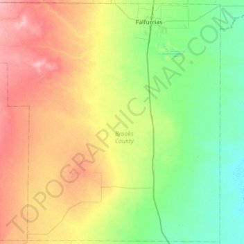
Name: Brooks County topographic map, elevation, terrain.
Location: Brooks County, Texas, United States (26.78098 -98.53667 27.26529 -97.98445)
Average elevation: 54 m
Minimum elevation: 11 m
Maximum elevation: 133 m