
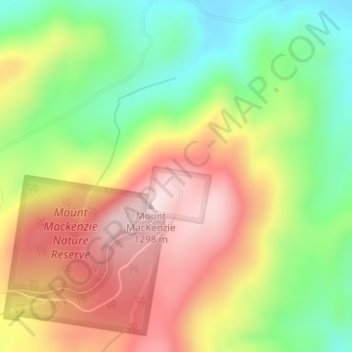
Mount Mackenzie Lookout topographic map
Interactive map
Click on the map to display elevation.
About this map
Name: Mount Mackenzie Lookout topographic map, elevation, terrain.
Average elevation: 1,101 m
Minimum elevation: 923 m
Maximum elevation: 1,290 m
Other topographic maps
Click on a map to view its topography, its elevation and its terrain.
Tenterfield
Australia > New South Wales > Tenterfield
Tenterfield, Tenterfield Shire Council, New South Wales, 2372, Australia
Average elevation: 891 m