
Jinshui District topographic map
Interactive map
Click on the map to display elevation.
About this map
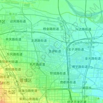
Name: Jinshui District topographic map, elevation, terrain.
Location: Jinshui District, Zhengzhou, 金水区, Henan, China (34.73299 113.60785 34.88608 113.85096)
Average elevation: 100 m
Minimum elevation: 82 m
Maximum elevation: 157 m
Other topographic maps
Click on a map to view its topography, its elevation and its terrain.