
Hempstead topographic map
Interactive map
Click on the map to display elevation.
About this map
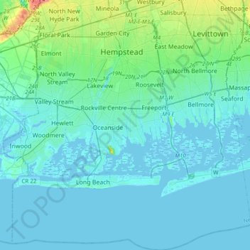
Name: Hempstead topographic map, elevation, terrain.
Location: Hempstead, Nassau County, New York, United States (40.52330 -73.76702 40.75669 -73.48175)
Average elevation: 10 m
Minimum elevation: -5 m
Maximum elevation: 90 m