
Readyville topographic map
Interactive map
Click on the map to display elevation.
About this map
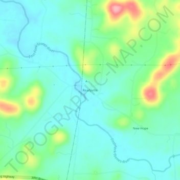
Name: Readyville topographic map, elevation, terrain.
Location: Readyville, Cannon County, Tennessee, 37149, United States (35.80834 -86.19431 35.84834 -86.15431)
Average elevation: 212 m
Minimum elevation: 179 m
Maximum elevation: 306 m