
Tirupati (Rural) topographic map
Interactive map
Click on the map to display elevation.
About this map
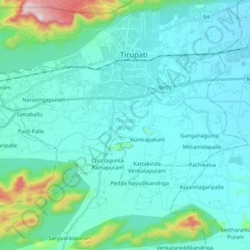
Name: Tirupati (Rural) topographic map, elevation, terrain.
Location: Tirupati (Rural), Andhra Pradesh, India (13.54450 79.33791 13.63219 79.49542)
Average elevation: 224 m
Minimum elevation: 111 m
Maximum elevation: 961 m