
naghar topographic map
Interactive map
Click on the map to display elevation.
About this map
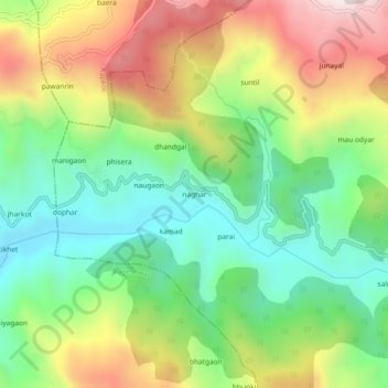
Name: naghar topographic map, elevation, terrain.
Location: naghar, Kanda, Bageshwar, 263634, India (29.85712 79.87949 29.89712 79.91949)
Average elevation: 1,373 m
Minimum elevation: 1,077 m
Maximum elevation: 1,816 m